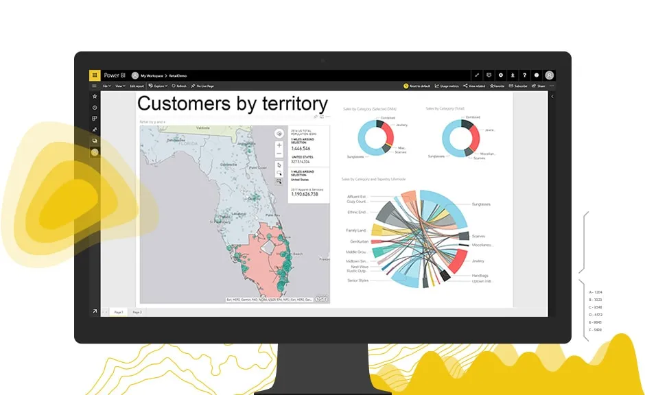
Geospatial Analysis Using ESRI Technology

Course Introduction
This course covers how to utilize GIS capabilities and doing geospatial analysis. Participants will be exposed to different use cases related to business for each analysis type including: Proximity, overlay, network, 3D analysis.
DURATION
3 Days
PREREQUISITES
GIS Foundations course
LEARNING OUTCOMES
Learn how to ask spatial questions.
The ability to prepare data for spatial analysis.
Learn to Geo-spatial questions.
Address how to design workflow to perform spatial analysis.
Lean how to use ArcGIS geoprocessing tools.
Gain problem solving skills using GIS technology and techniques.
Learn how to automate GIS processes
COURSE outCome
introduction to geospatial analysis process
proximity analysis
overlay analysis
network analysis
Routing
Service Area
Closest Facility
Vehicle Routing Problem
Location Allocation
3d data analysis
automating gis processes