Services
Technical Support
- Do you want to use tabaqat in a central function or in everyday business? Do you need a new function?
- Do existing tools have to be adapted for a specific application?
- we offers professional support for the tabaqat project as we can set up the software on any requested operating system (Linux, Windows or macOS) and adapt it to specific application.
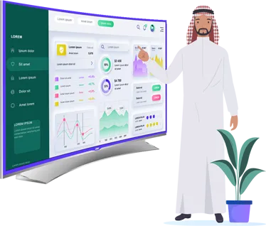
Dashboards

Features
- SDI analytics (per protocol, standard, web service, group, user).
- SDI statistics (volume of data, cache, mapfiles...).
- Automatic web map services configuration.
- General content and metadata configuration.
- User and groups management (super admin, admin, public...).
- Direct access to recently created maps and projects.
Training

Features
- We offer instructor-led GIS courses specifically designed for Saudi Arabia by top Professionals in the field
- Learn the latest in web mapping, location intelligence, spatial analytics, Dashboards, and more.
- Our ever-evolving curriculum integrates the latest innovations to ensure you gain a relevant skill set that can be used immediately across a range of commercial and open-source platforms.
- Our courses are fully designed for business intelligence, geographic information systems, statistical and geographical analytics professionals
- We will gladly train your employees on tabaqat and program additional functionalities if needed.
Data

Features
- 4 types of datastores (directories, databases, ESRI, WFS, WMS).
- 100+ GIS data formats supported.
- Automatic web map services publishing with security options.
- Vector processing tools.
- Raster processing tools.
- Georeferencing tool.
Apps

Features
- Growing web map templates collection.
- Set map title, description and meta tags.
- Set map default extents and display projection.
- Select your own or third-party base layers.
- Select functionalities and customize toolbars.
- Easy customization of web map templates for both desktop and mobile.