Base maps
tabaqat base map Service is a fully-managed service that makes it easy for GIS professionals and developers to add ready maps, to their ArcGIS, QGIS, and web applications, without sacrificing data security, user privacy, data quality, or cost.
Base Map Features
Discover The Features Of Tabaqat BaseMaps
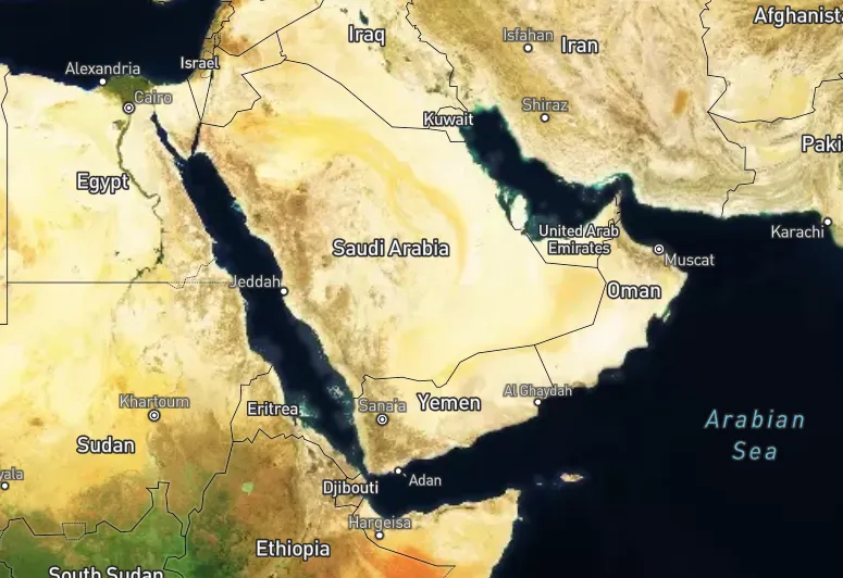
tabaqat base maps features a variety of base maps that can be accessed from tabaqat server. This includes base maps from OpenStreetMap and other authorized content. The base maps can be used as foundation layers to support a range of web maps or web mapping applications
Base Map Purpose
Explore Why Choosing Tabaqat Base Maps
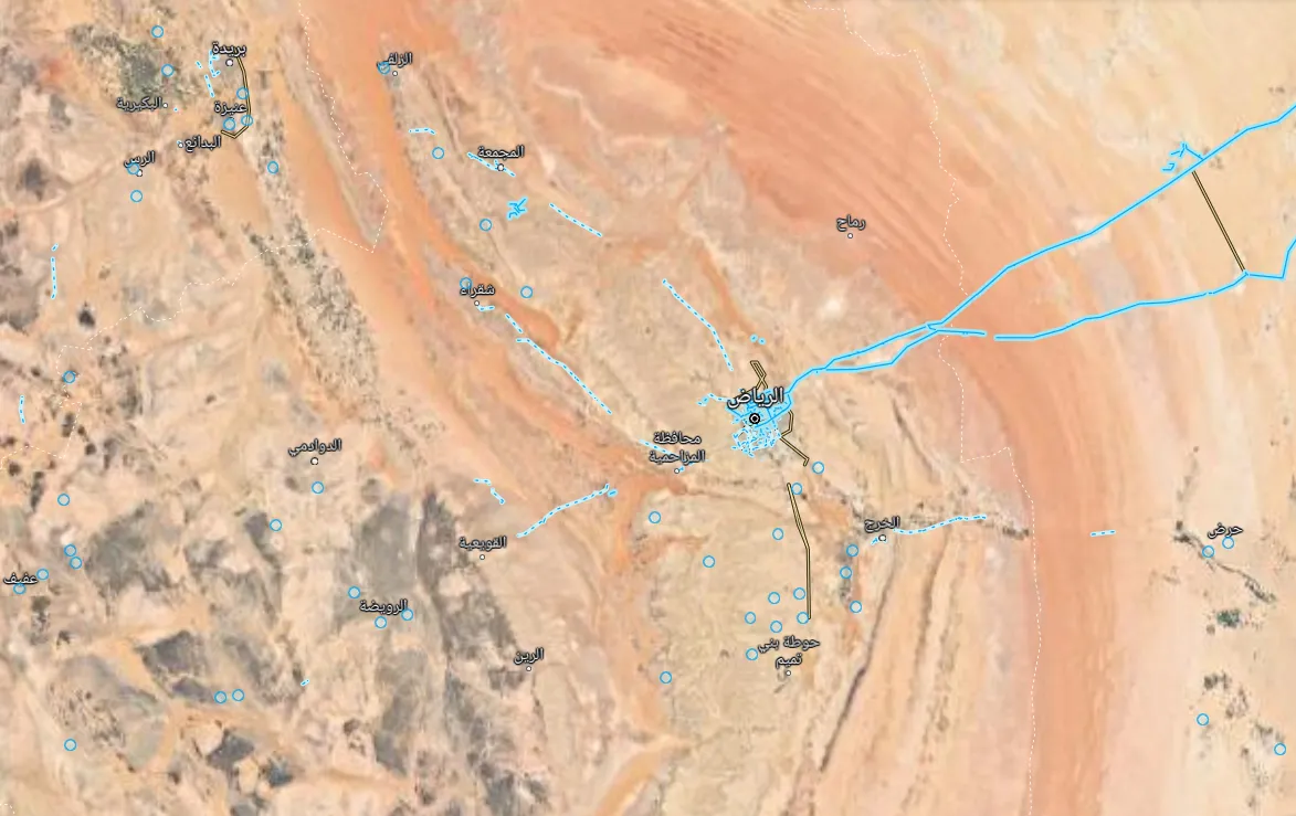
tabaqat base map's job is to be an effective backdrop for your data. Our base map provides critical reference information to enhance your map and let overlain layers play the lead role in telling the story. This collection of base maps does just that. You will be captured by the detailed changes as you zoom into the map. Details adjust to map scale thereby avoiding clutter and ensuring minimal disruption.
Unique Base Maps
Discover The Variety Of Tabaqat BaseMaps
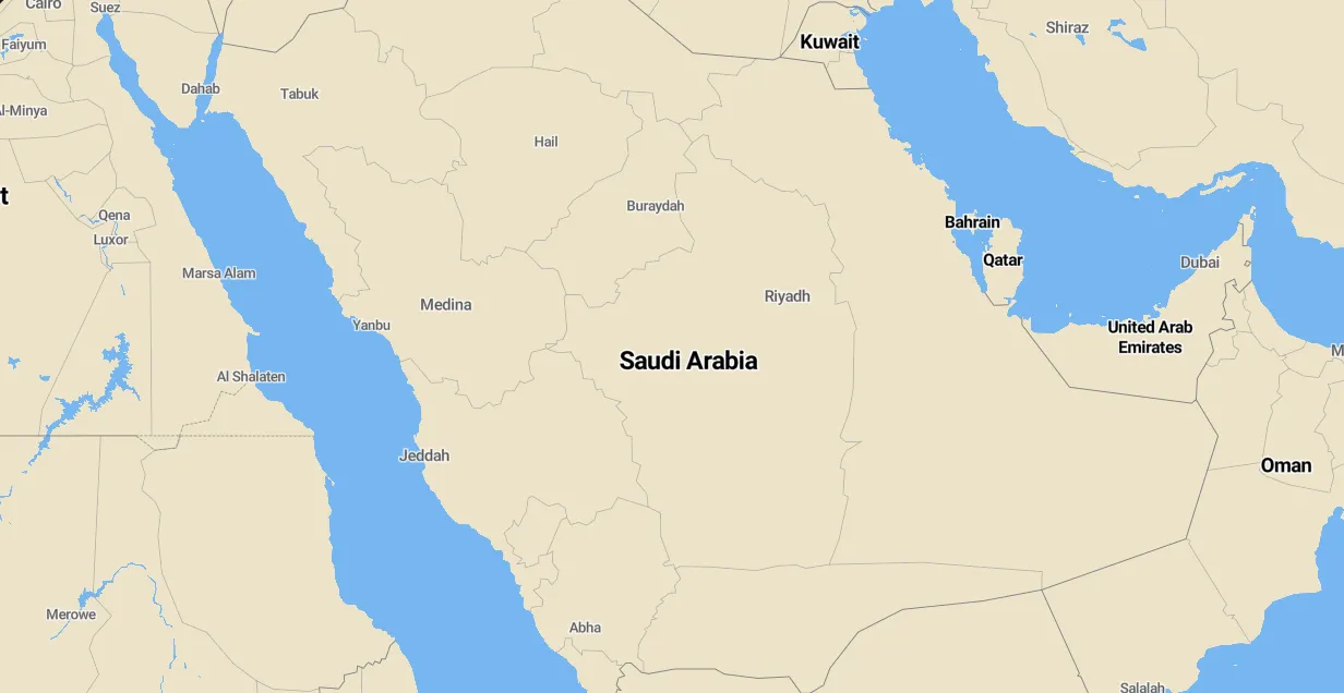
Instead of trying to make a single base map that performs adequately in all situations, we offer many unique base maps. Each base map can serve as a backdrop, depending on what story you want your data to tell. This base map collection works because it suits many map endeavors—whether you need to highlight geography, present thematic data in bright colors, overlay critical content or present all raster map datasets.